GeoLabel Maker - Dataset generation for geospatial applications
During my last engineering year as a student, in Paris, I created an Artificial Intelligence Laboratory for Image Analysis (AILIA) which is used to process images but also generate Deep Learning based predictions on them. The goal was to measure the effect of image processing on state of the art models and to analyze the relevance of their predictions. The compatible models are CNNs based models which work best for image manipulation (eg. ResNet, Inception, VGG etc.). This platform comes with a RESTful API, made using Flask.

Context
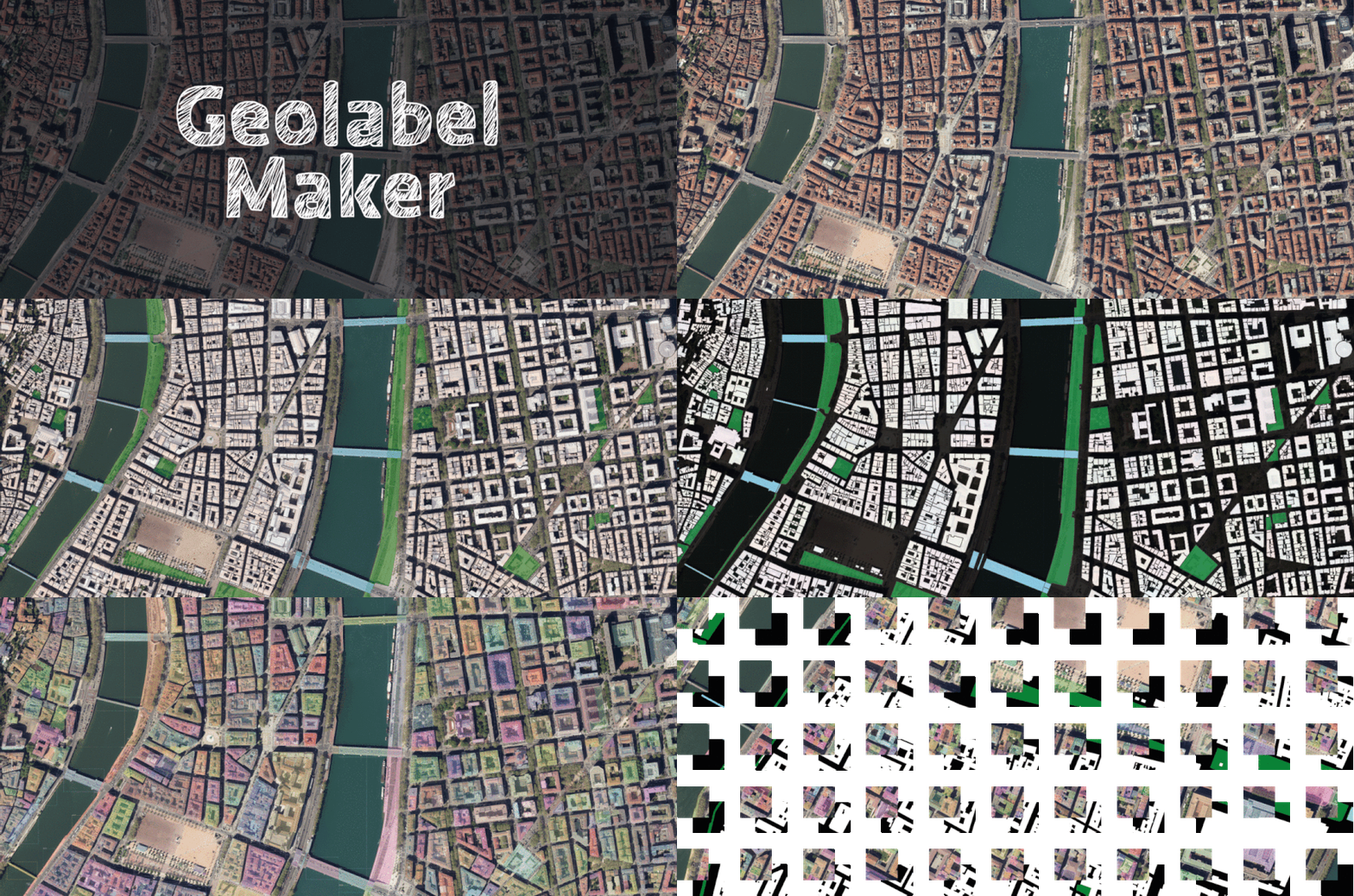
As artificial intelligence becomes more and more popular, the need for tools to help scientists in their research and development becomes a necessity. Geolabel Maker is a tool used to generate labels from satellite or aerial images and vector geometries.
What is Geolabel Maker?
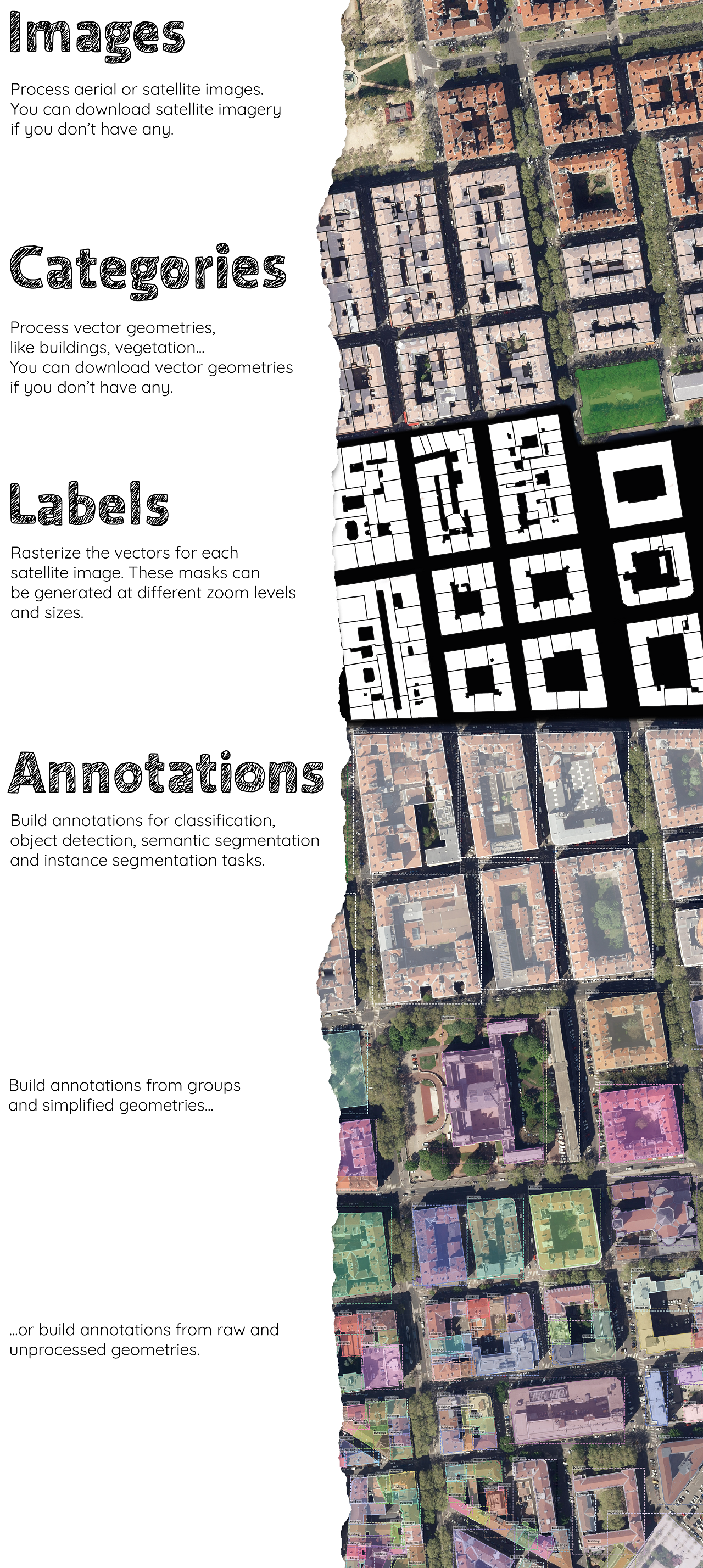
This python project is used to link these three steps: data processing, label and annotations generation. For instance you can build label images associated to your set of vectors and aerial images to build a ground-truth for generative deep learning models (like GAN, U-Net etc.) but also annotations for classification, object detection or segmentation (like ResNet, Mask R-CNN etc.).
“With geolabel-maker, you will be able to combine satellite or aerial imagery with vector data to create your own ground-truth dataset. This Python package can generate your final dataset in various formats for deep learning models.”
— Daphné Lercier, Research Engineer, Makina Corpus

Next steps
You can read the slides used during the presentation here. The developer documentation is currently being reviewed.