/about
I'm a deep learning engineer specialized in computer vision based in Paris, FR. I enjoy experimenting from latest research papers and designing engaging and creative AI applications.
Contact meSkills
Work Experience
- 2021 — PresentDeep Learning EngineerAirbus Defence and Space
Lead the research, development, and architecture of deep learning products using object detection, identification, keypoint extraction, pose estimation and similarity search in large collections of satellite imagery. Implements latest research papers and techniques to train models on frugal datasets including but not limited to metric learning, self-supervised learning, transfer learning and active learning.
- Apr — Sep 2020Deep Learning EngineerThales Defence Marine Systems
Build and trained deep learning model from research publications for multi-modal weather nowcasting to help Unmanned Underwater Vehicle (UUV) navigation and route planning. Engineered a full-stack service for nowcasting to generate predictions using a Postgis database and more than 100+ data sources.
- May — Aug 2019Computer VisionIGN France
Leveraged image matching algorithms and applied photogrammetry techniques to generate accurate point clouds from multi-spectral drone images. Conducted 3D classification to map vegetation in the French Alps in collaboration with local authorities.
- 2019 — PresentPhotographer & DesignerFreelance
Design illustrations for Noovae, a 3D virtual reality startup to help them communicate on world heritage. Collaborated as a photographer for Vikvize, a Norwegian counseling agency to capture impactful visuals to support their services.
Selected Projects
 geolabel-maker
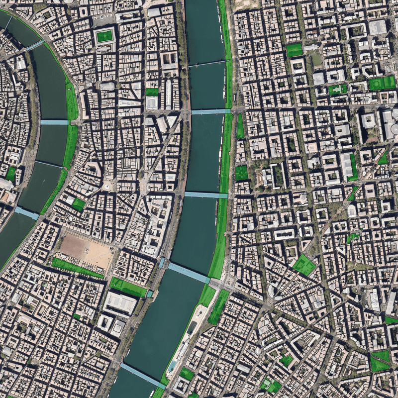
Geolabel Maker is a tool used to generate labels from satellite or aerial images and vector geometries.
 nets
netsRecreating PyTorch from scratch, using Numpy only. Implements FCN, CNN, RNN layers and supports CPU or CUDA computation.
Contact
If you have any questions or just want to say hi, feel free to reach out to me at any of my socials above. I'm always open to opportunities and new connections!